- Office Hours: M-F 8:30 AM - 5:00 PM
Our client, Terracon, used AGI tools and software in order to identify whether or not there were unmarked graves near a family cemetery and a known historical site for homesteaders near San Antonio, Texas.
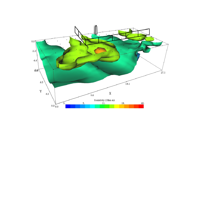
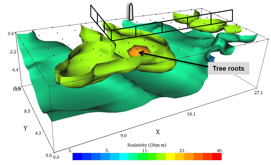
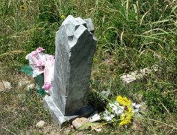
Our client was interested in mapping an area being developed near a cemetery that dated back to 1899. The client used the SuperSting™ R8/IP, the SwitchBox 112, and 112 electrodes installed in a seven-foot-by-six-foot 3D grid to map an area outside of the fenced grave site for anomalies. The clients used EarthImager™ 3D software to model and get a visual of the area.
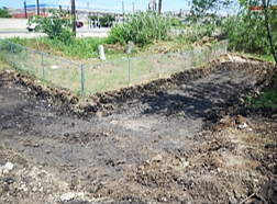
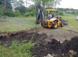
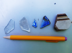
Thanks to 3D resistivity tomography, our clients detected an anomaly outside of the fenced 65-foot-by-35-foot cemetery area. The area of the anomaly was then mechanically excavated to reveal buried roots of a tree. Other structures were also excavated and found to contain fill soil with modern debris. Ultimately, no evidence of graves was encountered outside of the fenced area.
Unlike radar, resistivity imaging works in applications from salt water, to clay soil, to sand and gravel, to solid rock—this wide variety of ranges means archeologists can use resistivity to find clues and artifacts underwater, underground, and everywhere in between.
Similarly, you can use this method to locate bulk aggregate material—rocks, gravel, sand, etc.—for construction use or for locating groundwater.