- Office Hours: M-F 8:30 AM - 5:00 PM
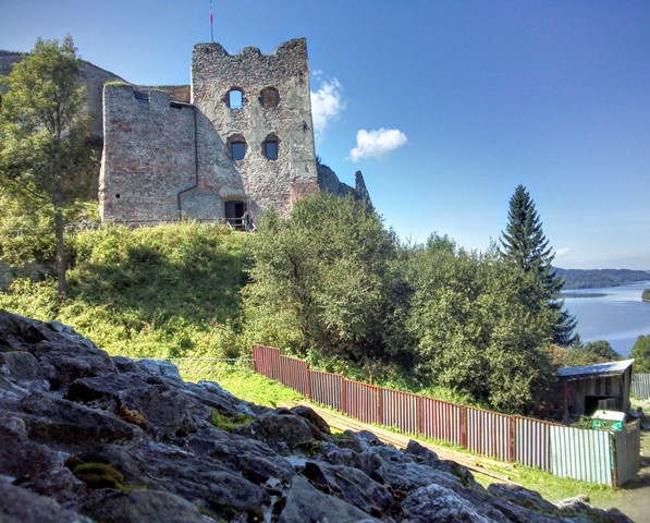
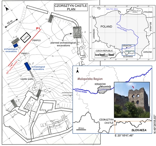
In August 2014, AGH University of Science and Technology in Krakow, Poland used AGI tools and resistivity imaging to survey the ruins of Czorsztyn Castle, a 14th-century castle located inside the boundaries of Pieniny National Park in southern Poland.
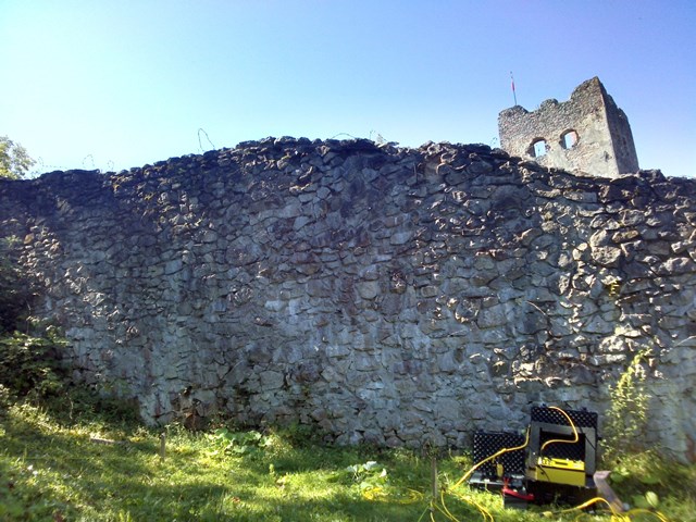
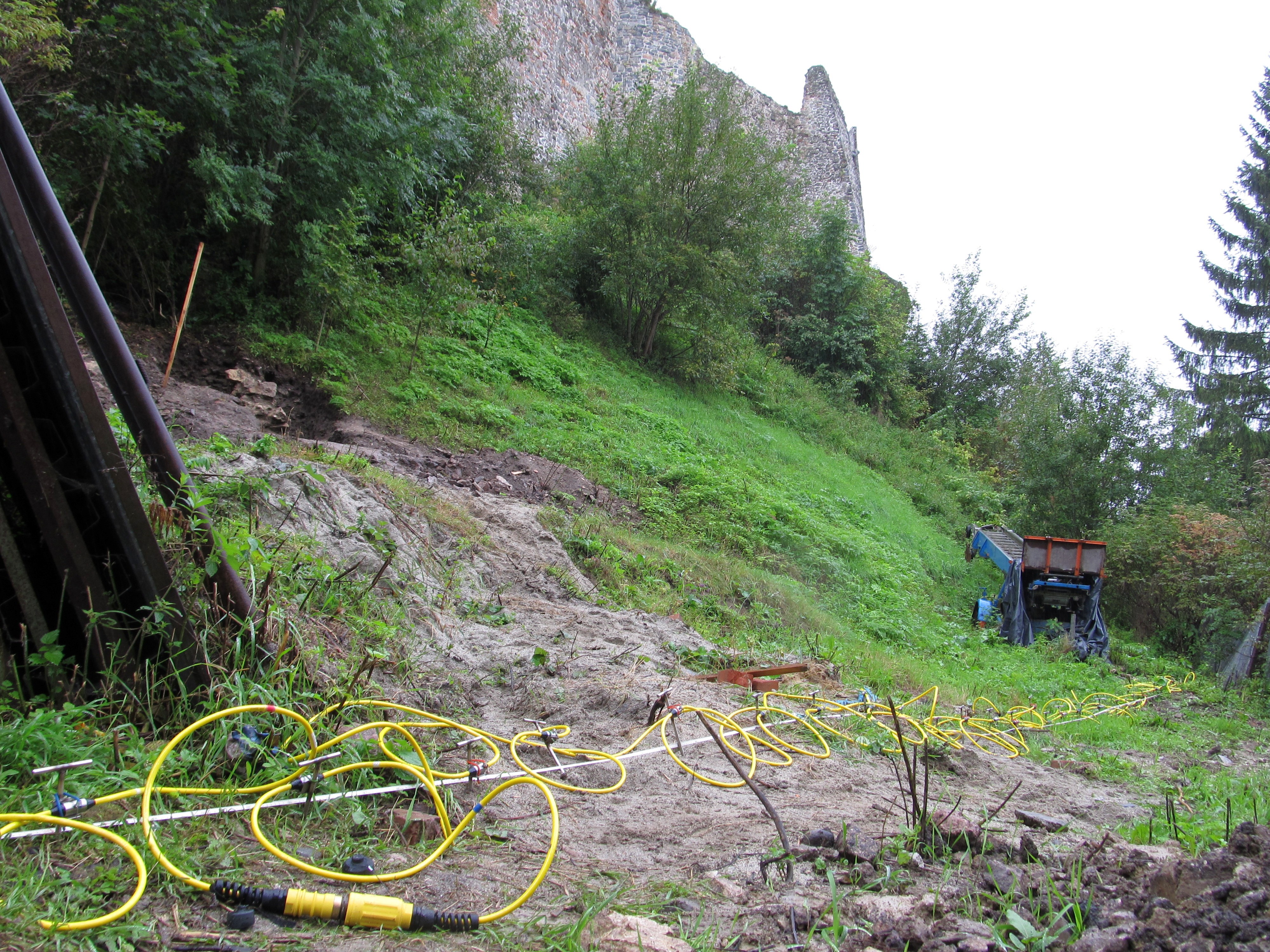
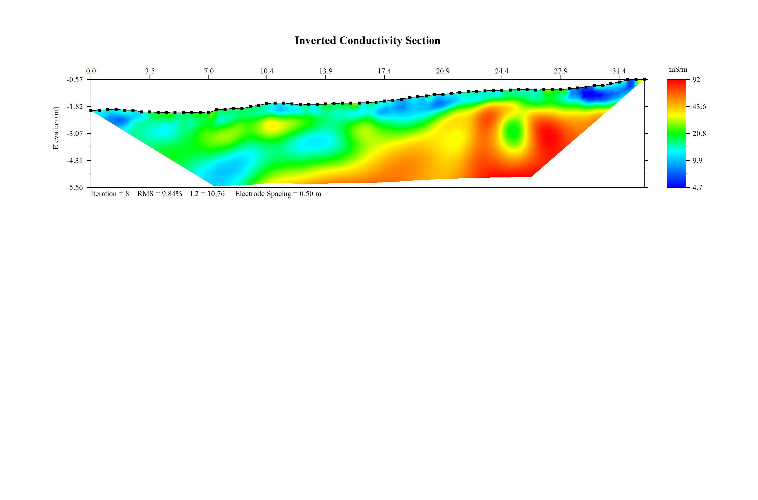
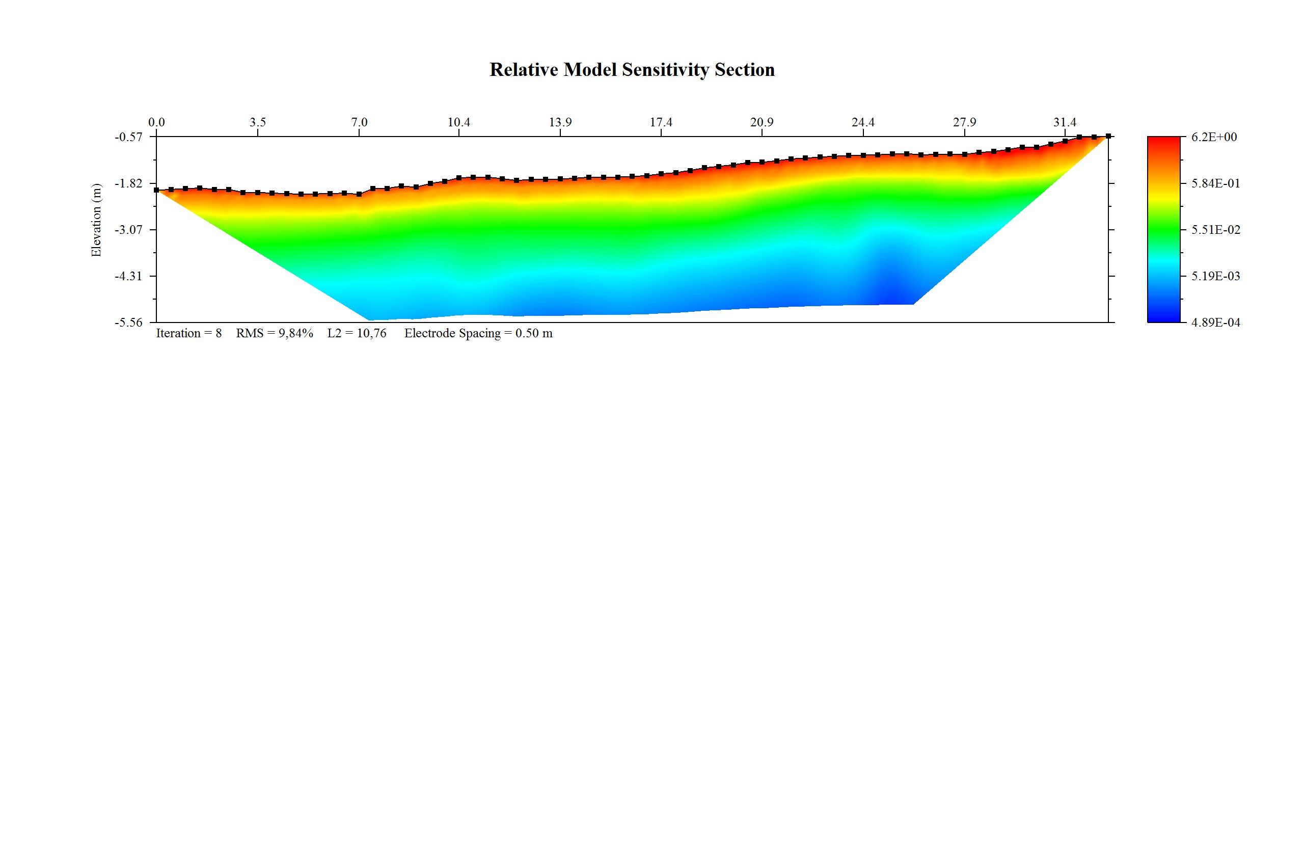
Due to the limited study area and obstacles, including fences, an outbuilding, etc., the client carried out one ERT profile. It ran from west to east and was 33 meters long, with electrodes spaced every 0.5 meters. The Dipole-Dipole array was used to collect the 2D electrical resistivity imaging data set using 67 electrodes spaced 0.5 meters apart. The surveys were conducted using the AGI SuperSting™ R8, a 112-electrode SwitchBox, and EarthImager™ 2D software was used to image the data.
These instruments successfully used ERI to show archeological anomalies in the castle area. In the images, the red and yellow colors indicate higher resistivity values—they correspond to possible anomalies. The blue and green colors indicate low resistivity values, which means the area is soil.
The data is accurate. Archeologists, universities, and researchers know precisely where to dig and excavate.
The technology is adaptable. Unlike radar, resistivity imaging works in a range of environments, including salt water, clay soil, sand, gravel, and hard rock. Archeologists can use resistivity to find clues and artifacts underwater and underground.
You can also use resistivity imaging to locate bulk aggregate material—rocks, gravel, sand, etc.—for construction use or for locating water underground.