- Office Hours: M-F 8:30 AM - 5:00 PM
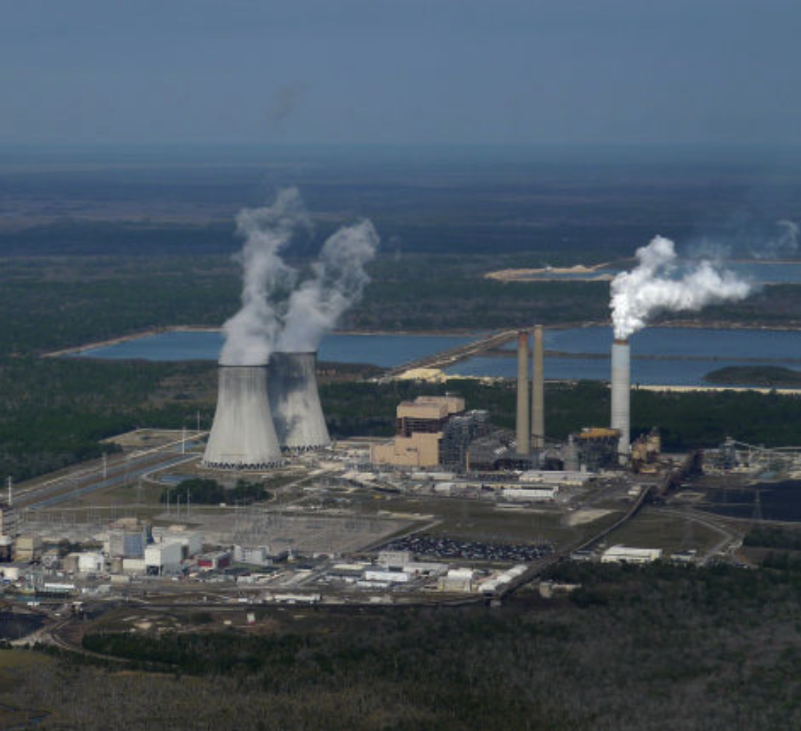
GeoSurvey Systems, Inc., now acquired by Collier Consulting, was exploring Karst formations under a nuclear power cooling pond in Crystal River, Florida, in order to find out more about the geohazards and solution zones underneath the pond.
The Crystal River Power Plant (CRPP) wanted to expand their nuclear cooling pond, but they needed to know if expanding the pond was safe. GSSI was hired to determine the extent of the solution zones and whether the caverns could safely be filled in or whether the site needed to be relocated.
The SuperSting™ R8 was used to map these geohazards in terms of resistivity. The data was then inverted in two dimensions using EarthImager™ 2D.
Our client discovered large, extensive solution zones throughout the whole area thanks to resistivity imaging. With the data and the resistivity images provided, engineers at the power plant could determine if they could grout and fill in the areas safely in order to expand the pond or if the expansion site needed to be relocated.
You can use this method to identify the dimensions of solution zones and geohazards with accuracy. In this case, our client was able to “see underground” to find out whether or not the limestone area under the existing pond could support a pond expansion. You can also use this method to find water in any underground application.
