- Office Hours: M-F 8:30 AM - 5:00 PM

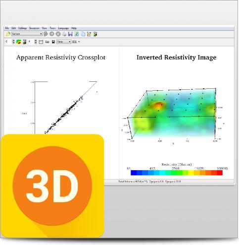
The optional Time Lapse Inversion module for EarthImager™ 2D and EarthImage™ 3D is used for in-situ monitoring applications.
Our Time-Lapse Module takes a base (or baseline, background) resistivity data set to establish a reference model. Then, the survey is repeated during the monitoring period with the same command file as the one used in the base survey. Our Time Lapse Inversion algorithm uses the base survey data and resistivity model to invert the difference between the monitor and base data sets, resulting in faster convergence and greater sensitivity to small subsurface changes. This cancels out coherent inversion anomalies in the different images and focuses on the changes occurring in the subsurface over time.
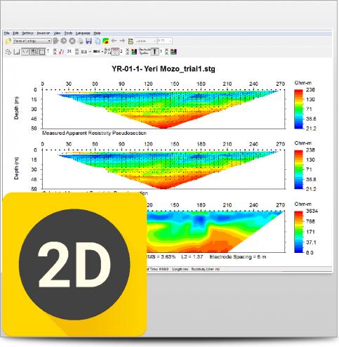
The time-lapse inversion may be carried out in two different ways depending on the input type. Difference inversion accepts two raw data files (STG) as inputs. This compares before and after images, while time-lapse inversion focuses on the changes in resistivity from the base data inversion. A batch mode is available that inverts a list of time-lapse data sets.
Monitoring potential leakage from landfills, dams, and underground storage tanks
Fracture tracing
Tracking environmental remediation progress
Mapping groundwater recharge
Infiltration studies
Intertidal effects on recharge zones along coastlines.
This product is qualified for 100% financing. Learn more.

When you can see what you're working with below the surface, you can make better decisions that save you time and money.