- Office Hours: M-F 8:30 AM - 5:00 PM
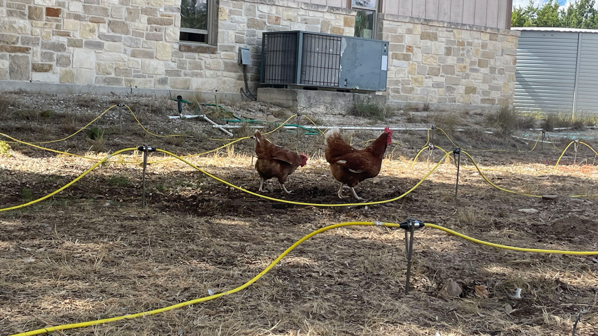
During the 8th Annual Texas Hydro Geo Workshop in 2023, Advanced Geosciences, Inc. held a breakout session to help attendees locate caves and voids using High-Resolution 3D Resistivity Imaging. The session occurred close to Boerne, Texas’ well-known cave, “The Cave Without a Name.” The survey site was roughly 1 km southwest of the cave.
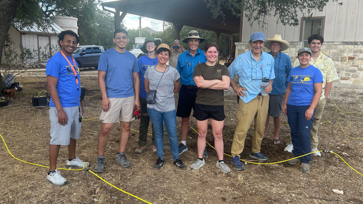
Participants received hands-on training on how to use the SuperSting™ resistivity imaging system for high-resolution 3D resistivity imaging surveys. These surveys are particularly useful for identifying geotechnical targets like groundwater, caves, sinkholes, voids, and depth to bedrock.
However, the session’s duration was limited to only 4 hours, which meant that the group had to travel to the site, collect data, invert the data, and clean up the survey site within the allotted time frame.
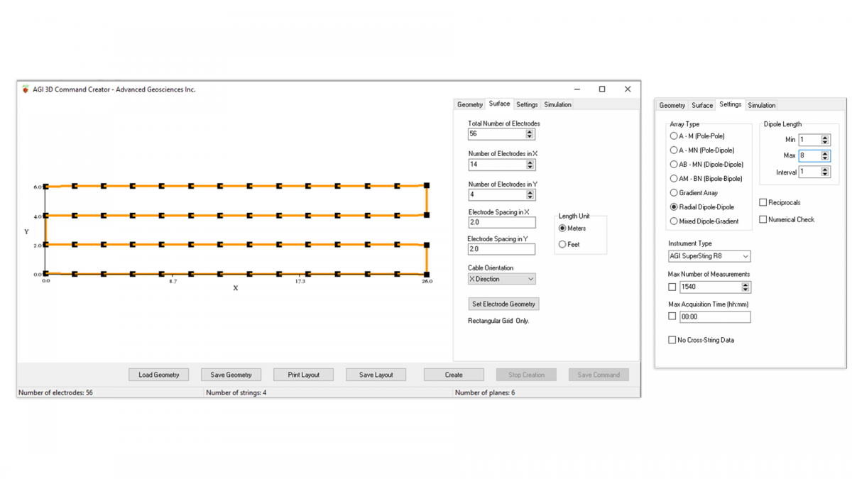
Before the survey, the 3D command file was created and simulated in EarthImager™ 3D using the surface geometry and settings below. The cable orientation needed to match with the command file, so electrodes 1-28 were connected to the low address and electrodes 29-56 were connected to the high address.
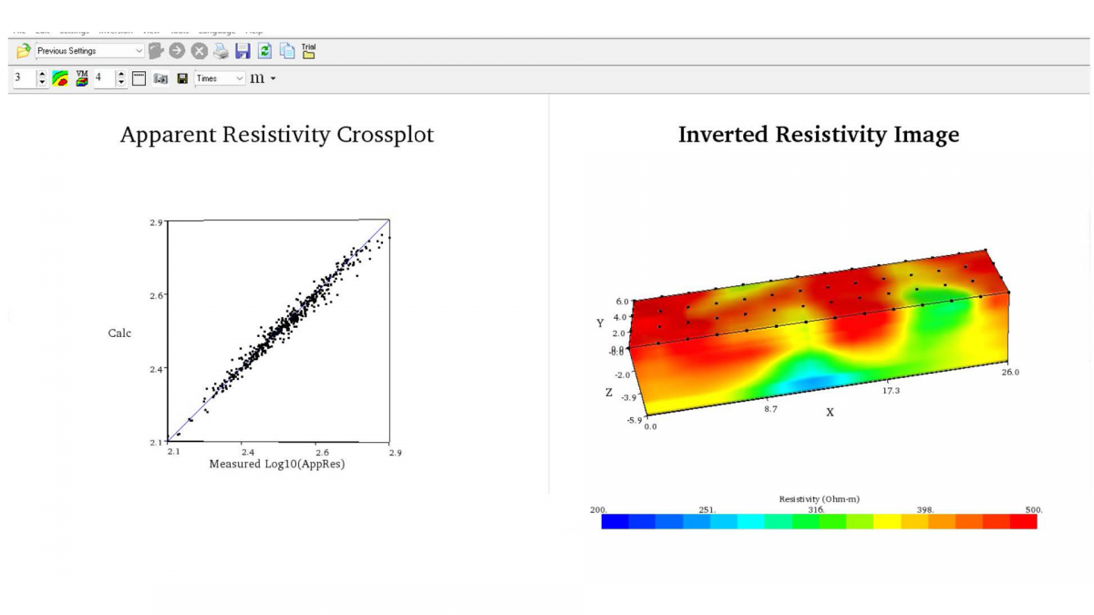
Based on the Apparent Resistivity Crossplot, the SuperSting™ collected clean data. With the help of EarthImager™ 3D, the data was inverted into a 3D model which indicated that the depression on the surface of the survey site was caused by a water-saturated void located beneath it.
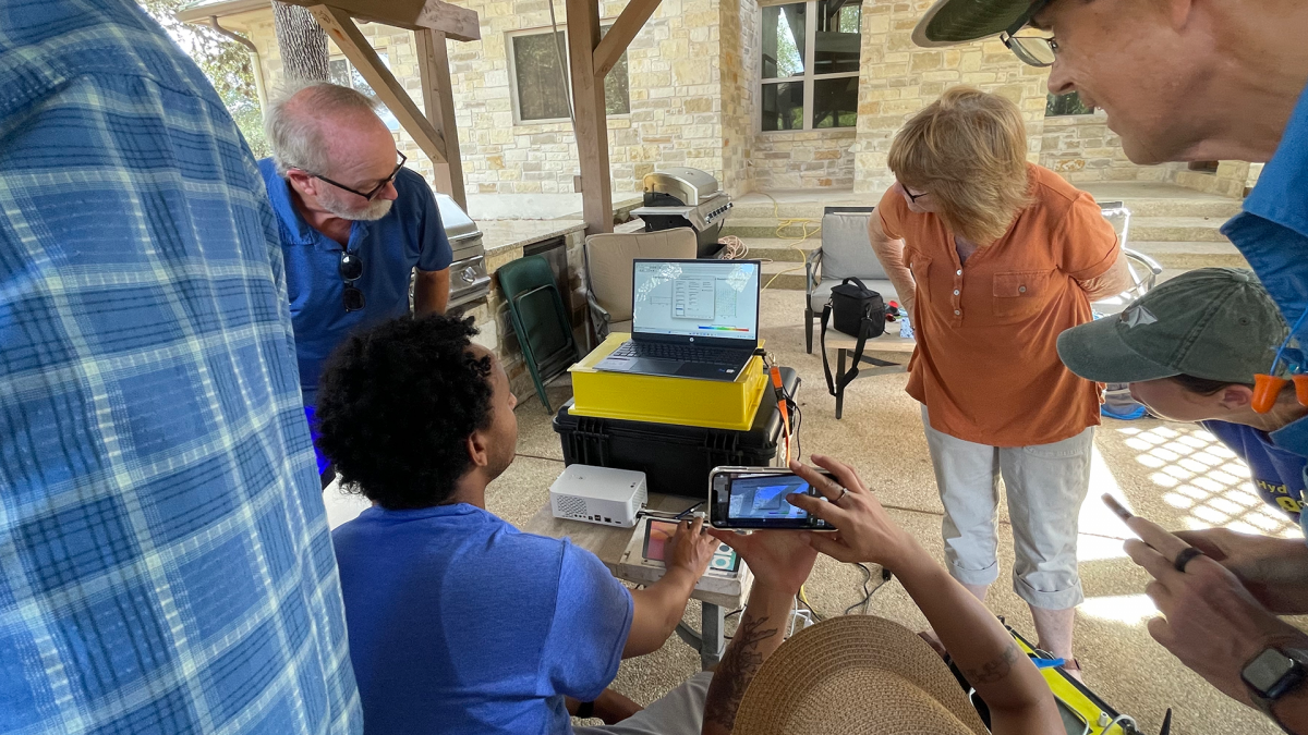
Moreover, the data collection process for the 56-electrode 3D array was swift and only took 26 minutes. This allowed ample time to review the data before demobilizing, and the entire session concluded an hour earlier than expected.


